Los Angeles, California
Academy Awards
The time was sprung forward by an hour, from 2am to 3am during my last day in Vegas for daylight saving. I lost one hour of sleep for my early bus to Los Angeles and I am still living one hour short at the time of this posting. Even my Lyft driver wasn’t aware the time has been adjusted as she drove me to the bus pick up point and it wasn't a proper bus station. The instruction in the email was only mentioning about little green signage. Apparently I wasn’t the only who was unable to locate it as there was another couple looking for it, only to be told by another e-hailing driver that dropped off another passenger that it was on the other side of the road, slightly different than what being described. The bus departed almost on time as it started to head its way around half past eight and slowly Las Vegas was behind me. Quick stop at Barstow for lunch break after 3 hours, I safely arrived at Union Station shyly before 2.30pm.
 |
| Waiting for my bus. Booked my ticket via flixbus.com. It was a clear day, with Strat Tower in the distance. |
 |
| Passing by this building as we left for LA. The venue for my first night show in Vegas. |
It was Oscar’s Day when I arrived at Los Angeles, 12th of March. After settling down at my AirBnB, I started to walk towards Walk of Fame, whereby Dolby Theatre was located. It was 30 minutes walk from my place. Compared to the place I stayed in Las Vegas, the streets here I felt relatively safer, even at night as it was surrounded by busy neighbourhood, somewhere along North Vista Street and Santa Monica Boulevard. As I was approaching the venue, I could see there were police officers controlled the traffic, which was expected as evidently shown when I Google mapped earlier showing road blocks surrounding the building. The roads were fenced up and I found myself walking from one end to another just trying to get the good view of the red carpet. How silly of me thought that I could catch celebrities because apparently the show started at 5pm, the time I arrived at Hollywood Boulevard, which would mean the event would have been earlier. I guess I misread the 8pm time as the local time (Pacific Time) when it was actually Eastern Time. I could see a number of people was doing live, dressed up in tux as though they were hosting the show, outside the theatre. More like reporters. As the sky started to turn dark, I decided to leave and to have dinner at El Compadre. I believe this was about the same time when Michelle Yeoh was announced as the winner for Best Actress. Was so close yet so far but still feeling excited I was breathing the same air as hers as the historic moment happened.
 |
| My AirBnb In LA. Cozy. Would return to this place again should I am visiting LA. |
 |
| Mural outside Hollywood Wax Museum. One of the alleys I used in getting to another street/avenue since Hollywood Boulevard was blocked. |
 |
| Zoomed up to at least 9 times on my phone to capture this entrance. Was still naively waiting this time. |
 |
| Next thing I know, people started to roll this carpet. Bummer. |
 |
| Since I was already here, might just as well. Congrats, Dato' Michelle Yeoh! |
 |
| Flaming Margarita: Saw this on Google Reviews so was very tempted to try. |
 |
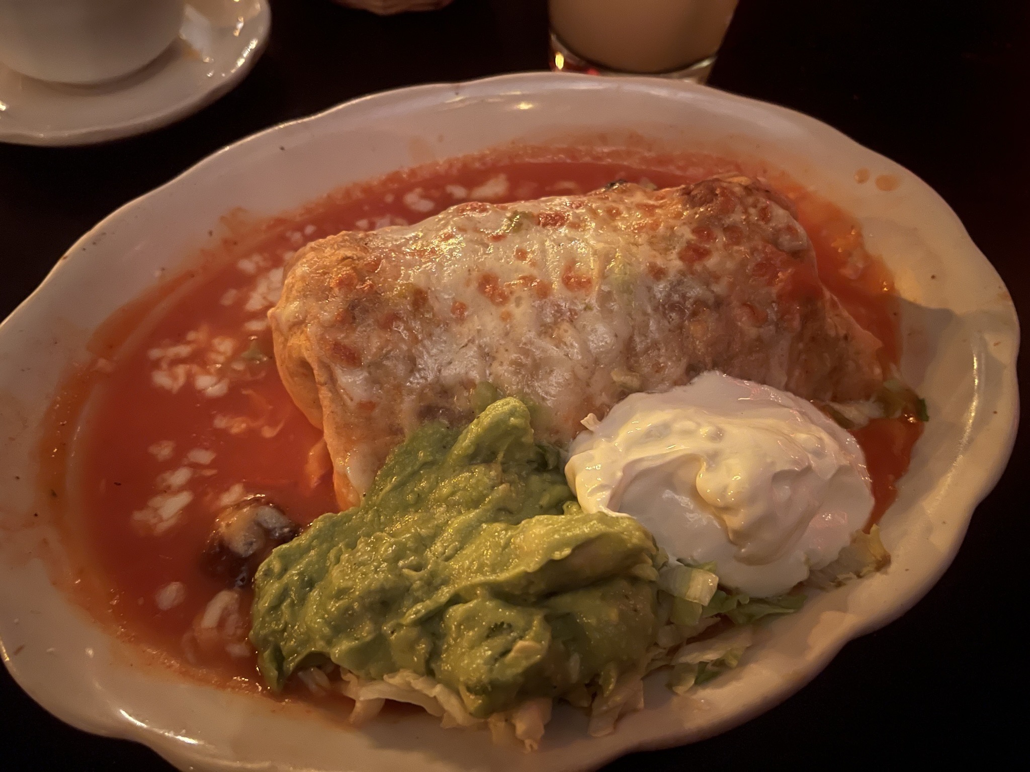
| This portion of Burrito was so huge and I couldn't finish it. |
Side note: As I was walking towards Hollywood Boulevard earlier, there was a group of people speaking Spanish right in front of me. They were pretty dressed up. It was all normal until suddenly there was a guy in his car shouting "If you can't speak English, go back to your country!". That was the first and only racism that I encountered in the States.
Hollywood Sign Hike
Started my official first day in LA rather late to compensate the loss time I had the day before. The weather forecast indicated it would be partially cloudy and sunny so I decided to do Hollywood Sign hike on this very day.
 |
| Getting ready for the hike. Couldn't resist this standing mirror in my room. |
Had my morning brunch at Blackwood Coffee Bar to fill up my energy bar, just enough to last till lunch hour. There were numerous trails getting to the sign and I made my way to Fern Dell Nature Trail as the starting point of my hike. It was a chilling stroll with lushes of green with tiny river flew through the park. It was around 30 minutes of tracking before I reached to the top of hill, where Griffith Observatory is via East Observatory Trail. The intensity of the track I would say is doable for the beginners, just needed to keep yourself hydrated to walk in the hot day.
 |
| Seemed to be a ritual for me to have coffee in the States and I just couldn't miss it. |
 |
| Passed by this record label building which was at Yucca Street. |
 |
| My final destination seemed so far ahead. Was wondering whether I made the right decision just to walk all the way there. |
 |
| One with Fern Dell Nature Trail. |
 |
| East Observatory Trail, heading towards Griffith Observatory. |
 |
| Can you see what am I trying to capture in this photo? |
It was quite a crowd with tourists wanted to catch the cityscape of Los Angeles as I was at the obsevatory. It was rather foggy despite of the blue sky. Nevertheless, I could still feel the heat sipping into my skin as the day went on. The observatory was closed when I was there and I lingered around for quite good half an hour before continuing on.
 |
| Hello, City of Angels. Now, where is Lucifer? Could see the trail where I was coming from on the right. |
 |
| The sky did clear a bit for a while while overviewing the cityscape. |
 |
| One with the observatory before my next agenda. |
To be honest, at that point, I had not thought it through which routes to take before starting my walk on that day. I was basically just winging it based on what came to my way, following the sign that would get me to closer to my destination, one way or another. Walking along W Observatory Road, I turned to Mount Hollywood Drive which appeared to have closed for any vehicle to enter. Along the way, I saw a group of people doing horseback riding, a package that I saw from my search. It was around half an hour before I arrived at another junction before turning into Mulholland Trail; from tar (or bitumen) paved to dirt road. I reckon this was the common path for the Sunset Hollywood Ranch as I could see and smell drops of horses. As the observatory started to be out of my sight (most of the time at least), I could still see the outline of LA city with Hollywood sign got closer and closer as I tracked along.
 |
| Saw this sign upon leaving Griffith Observatory and decided the path to Hollywood sign from here. |
 |
| Griffith Observatory started to diminish from my view.. |
 |
| with the sign started to get closer. Well, still long way to go from here. |
 |
| Saw these horse riders as I was making my way to the iconic sign. |
 |
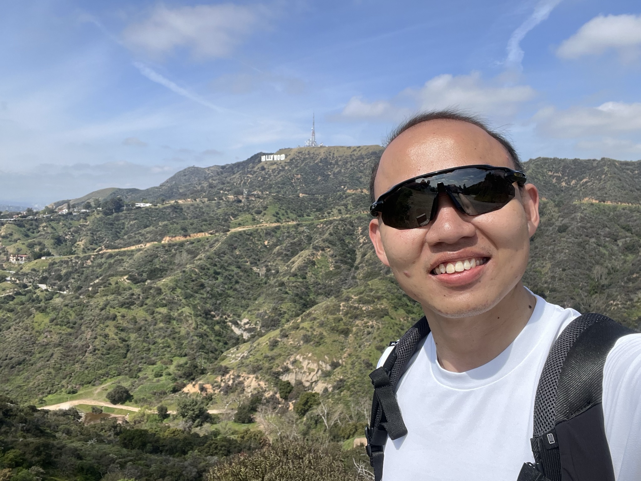
| One of the pitstop photo ops, just to keep track of my trail. Turned left to the sign. |
 |
| It was getting hotter and hotter despite of the cloudy weather. |
 |
| Almost at the end of this trail. |
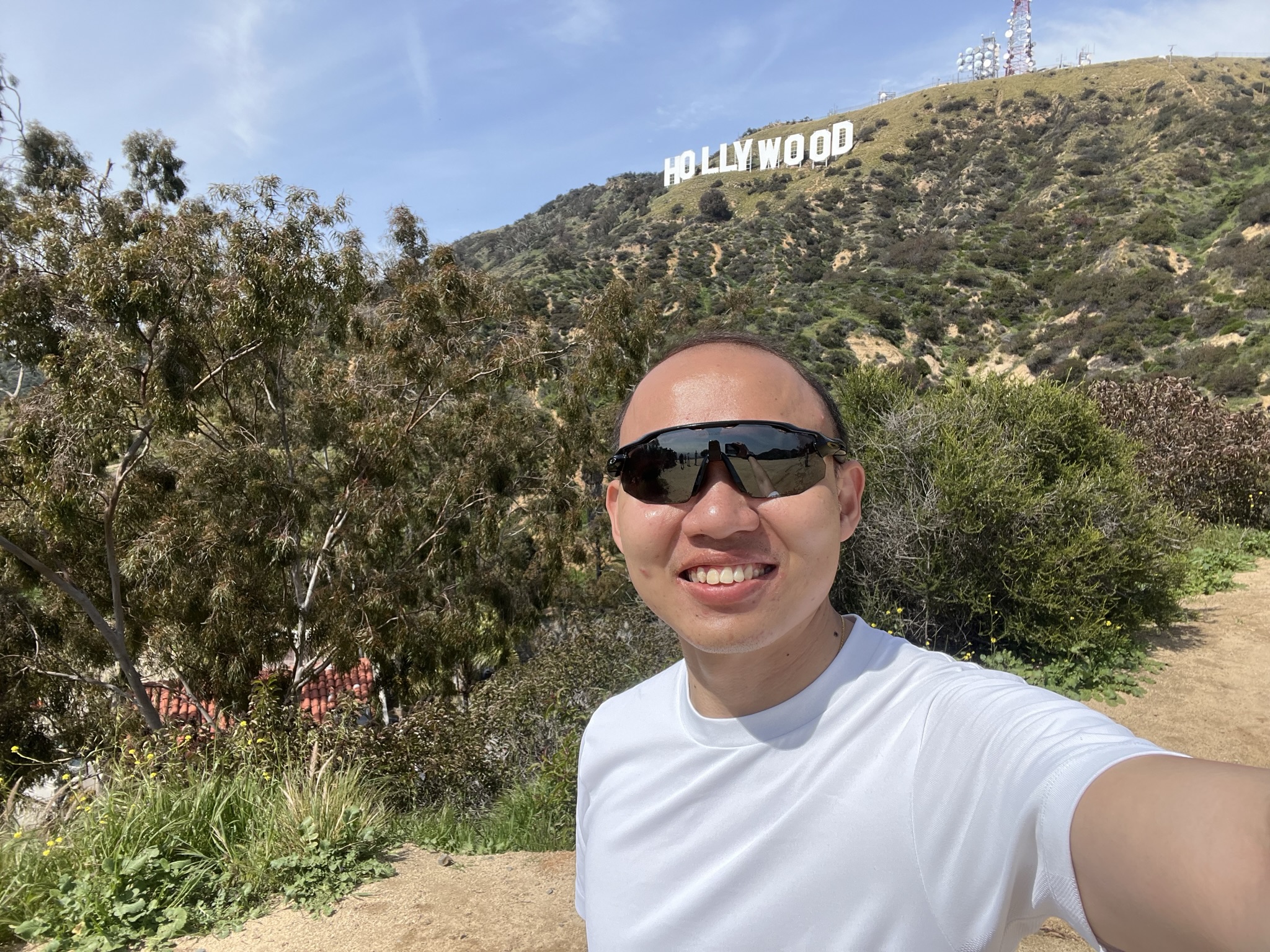
After a mile-walk, there was a T-junction as I was at Mt Lee Drive, in which going left got you to view point of the sign and on the right is to get behind it. I made left turn first and less than 10 minutes, there I was the closest possible to the front view of the iconic sign of Hollywood. To think it was first put up to promote local real estate development i.e. Hollywood Land and now became synonymous to the entertainment industry that I dare say that has taken over almost every big screen there is in the world. Did a quick photo op before returning back to the same junction as I decided to get behind the sign. Seeing where the locations where the signs were being erected, you would think the trail would be quite steep. You were right on that, though thankfully it was just a short while. Perhaps it was due to the fact I have been walking the whole morning and the energy that I had from morning brunch has been completely digested, I took a much slower pace going up the peak of Mt Lee. I could see the other cities of California on my right e.g. Burbank and at one point, I could see Universal Studio Theme Park as I recognised the Wizarding World of Harry Potter. Persevered, I made it to the top. I believe I have recorded at least 20k of steps to get up there. I refilled my energy bar with snacks (or more like bunch of chocolates) and finished my last drop of water. Dead.
 |
| Halo, it's me... |
 |
| LA city was always with me. |
 |
| Hey you. I'm getting behind you soon. |
 |
| I believe that was Burbank behind me. Hi Ellen! Oh wait... |
 |
| Made it! |
 |
| That proud face that I can finally cross this off my list. |
I hang around for about half an hour before searching how to get down. Another 'smart' decision. Thought of giving another trail a try without going back to where I came from, I went on ahead to Aileen Getty Ridge Trail whereby the trail was rockier than the previous, with little climbing needed. With LA view still on the left, I found myself unintentionally arrived at Wisdom Tree, saw it on the map before but wasn't part of the plan. The best part was there an American flag at the edge as I have been wanted to take with one but most of them weren't waving. It was windy. Seemed like a perfect closure for my Hollywood sign hike, which was no longer in sight, for now, I started my descent which got me to Wonder View Drive.
 |
| As you might notice, you couldn't actually get to the sign as it was fenced up and you are not allowed to cross it. From time to time, there was PA actually reminding people not to. I guess some visitors were just stubborn as there was police officer came by and called out some trespassers as I was leaving. |
 |
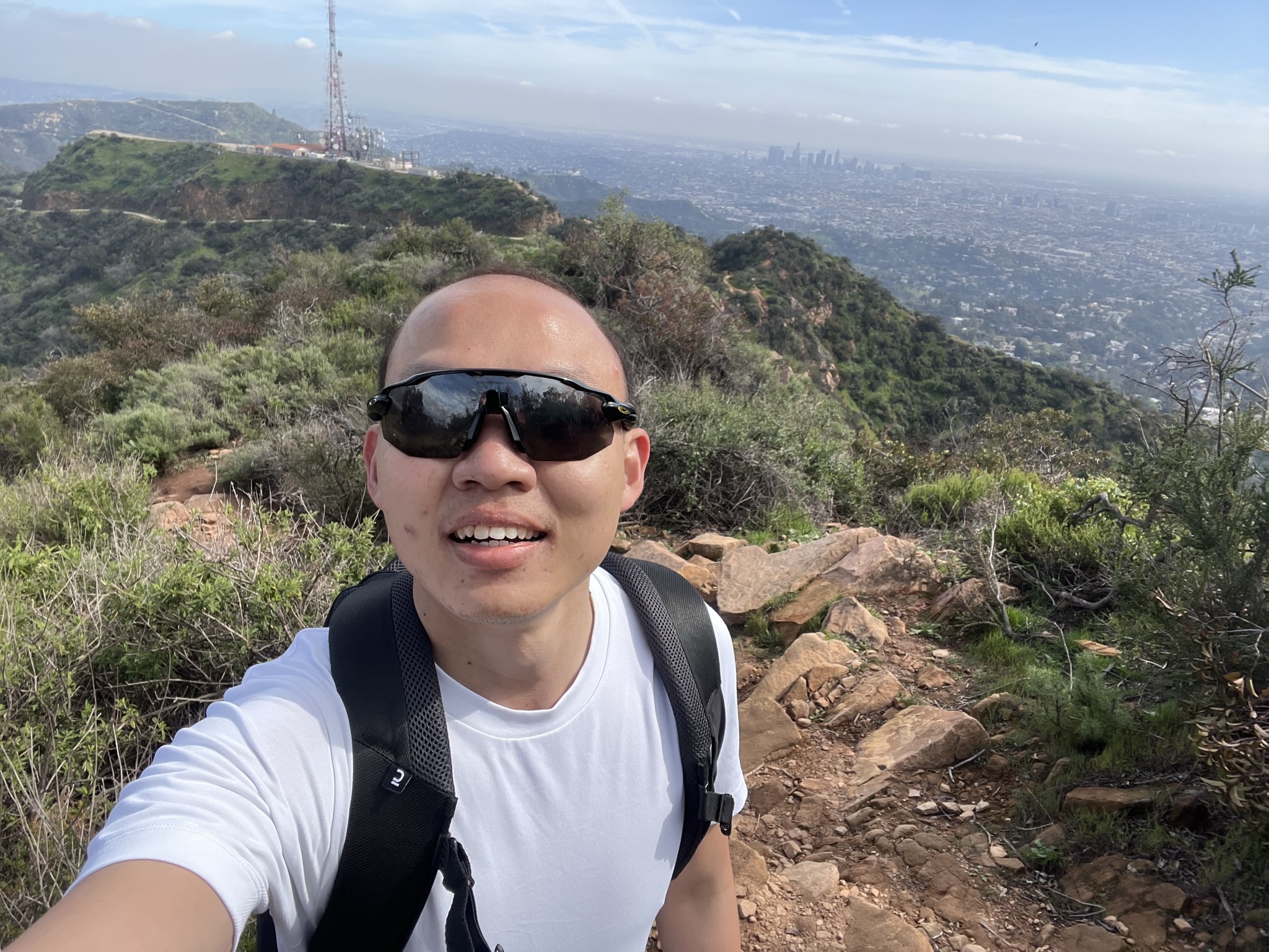
| Rocky trail indeed it was. Hollywood Sign was where the telco tower was. |
 |
| Needed to climb this but thankfully there wasn't much of it. |
 |
| One with the flag. |
 |
| One with Wisdom Tree. Hopefully I'm getting wiser now. |
 |
| Half mile down. I was grateful I was getting down from here instead of going up. |
 |
| Safely descended. |
 |
| Can see what was I pointing at? |
I can't seem to get any Lyft from where I was so I decided to make a walk along Lake Hollywood Drive and the next thing I know, I passed by Hollywood Reservoir, some fancy neighbourhood and reached Lake Hollywood Park, one of the view points of Hollywood sign that was mentioned in one YouTuber's video. It was around 4pm and there were people playing frisbee with their dogs, some guys with their footballs and a group of Asian having picnic, or making TikTok contents as I saw recording gadgets next to them. Getting myself replenished by buying myself a big cup of fruit and a bottle of drinking water while chilling at the park for about an hour. Initially plan to book a Lyft back to my AirBnB and I was happy at first that I managed to get a car but just to find out the previous passenger seemed to hold on to the booking as she was only doing a quick stop for photo and left in the same car. In other way, my booking was cancelled and I was trying to get another but to no avail. Reluctantly, I chose to walk further down to get to another pick up point which I hope I could hail another car but eventually I just decided to walk all the way back, 4.6 miles from the park, since I have done so much of walking anyway for the day so what is there to walk for another 1.5 hours. That was after I get my sugar level boosted at Station 76 at Franklin Avenue before finally getting back to cozy bed.
 |
| Seem to be rich people neighbourhood. Or the houses and streets are just good looking. |
 |
| Last view point of today's journey. |
The trail that I took might not entirely as what I planned but the best part was to explore the unforeseen and stumble upon the views that I didn't expect. I lost count of how many vantage points of Hollywood Sign for the day.

|
| My trail of Hollywood Sign hike on 13th March 2023. Though I might say the trail ended at Lake Hollywood Park. Just all the best getting Lyft from there, or it wasn't my luck. |